
A 'must do' trip is along the northern cliffs - the Na Pali Coast. This is a rugged area that can only be reached by boat from the south west or from the north east. There is a road on the west, south and east ... but not joined at the top.

The scenery is breathtaking:
 |
| We traveled by catamaran, 5 hours. |
 |
| The sea had large swells. |
 |
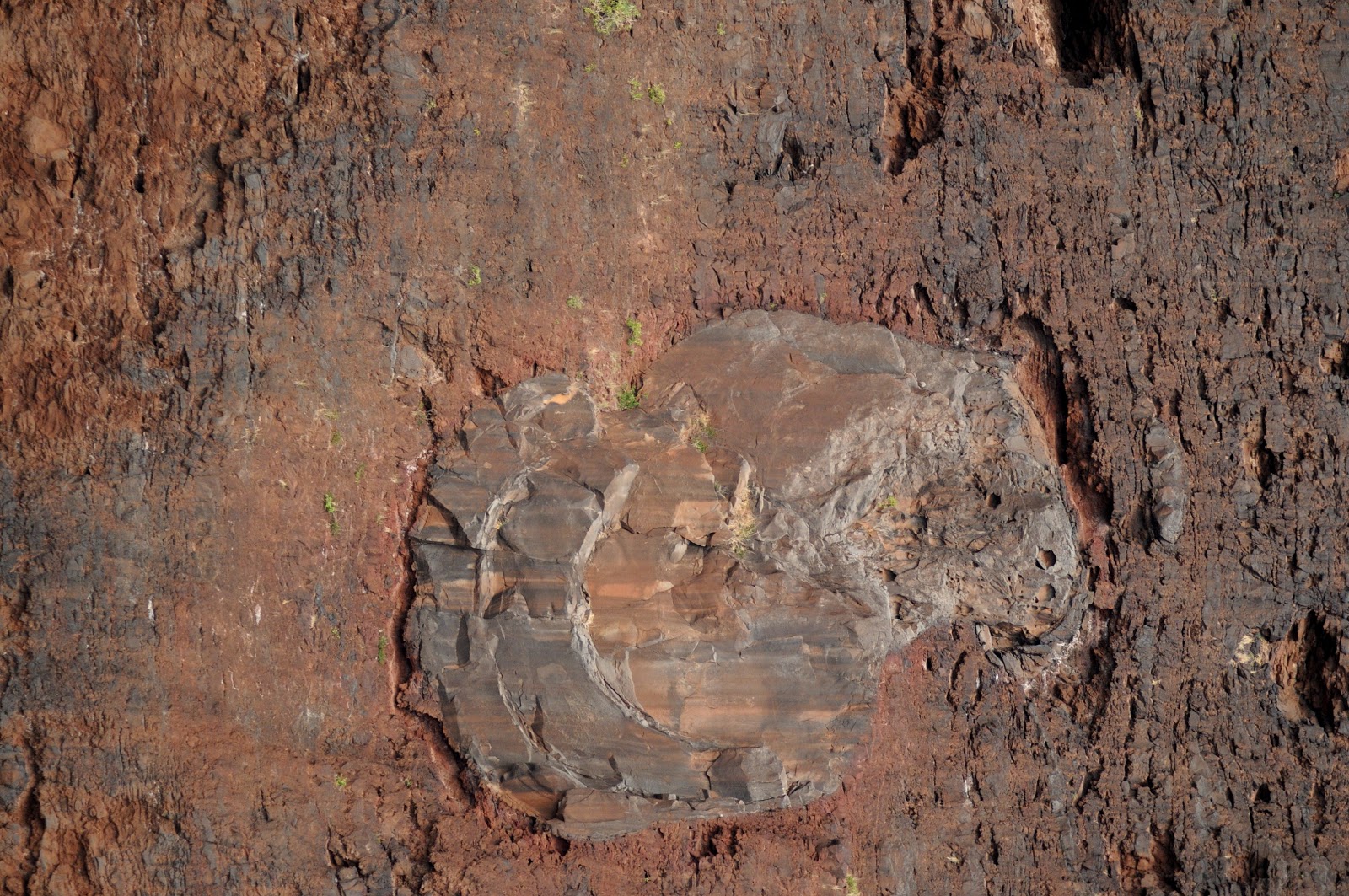
| Most of the western coast is farmland and was once sugar plantations. The soil is very rich in Iron. |
 |
| Just before we got to these cliffs, we went by the Pacific Missile Range Facility on a sandy peninsula. |
  |
| We were soon into massive land forms that were layered as far as you could see. |
 |
| Kauai was the first of the Hawaiian Islands to form. Eroded cliffs show interesting volcanic activity from the distant past. |


 |
| Early native people lived along these cliffs. They were able to find food in the valleys and fish. They were very protected. |
 |
| Suddenly there was a huge splash and we were treated to humpback whales as they breached and slapped the water with their fins. Dolphins played alongside them. |
| For more photos, visit: |
| http://www.napali.com/gallery/whales_and_dolphins.html |
 |
| There are beaches that you can hike into from the north west. It is a challenging trail and you must pack everything in. |
 |
| As we headed home on the 2 hour journey back, the clouds broke through with a golden sunset. |
No comments:
Post a Comment